Rivers and Paddling in Manistee County
Little Manistee River
Meandering throughout the Manistee National Forest
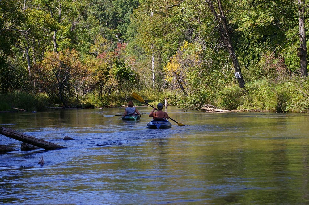
The Little Manistee is a diverse river depending where you put in. The farther up river you go the more challenging; for a gentle float with little obstacles, stick to the lower half of the river after the Manistee Weir. If you are on the river in early spring, be sure to pack the bug spray, the river flies can get a little bit hungry.
Explore the Little Manistee River Weir – Learn More
The Little Manistee River weir is an egg-take and salmon harvest facility which is operated by the Michigan Department of Natural Resources, Fisheries Division. The weir is used to block fish on the Little Manistee River in the spring and fall of the year. Steelhead eggs are taken in the spring and chinook salmon eggs are taken in the fall at the Little Manistee River weir. The eggs taken at the weir are sent to state fish hatcheries where they are reared and stocked all over Michigan. Eggs are also supplied to several other states.
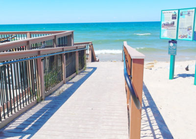
In addition, this site is one of the Explore The Shores sites in Manistee County and you will find a fishing/observation platform with informational kiosks for you to explore. Find driving directions to the Little Manistee River Weir.
River Difficulty/Paddling Tips
The higher up the river you go, the swifter the current and tighter the turns. Because this section of river is deep in the Manistee National Forest, there are many down obstacles that you may need to portage around. During certain times of year when the fish are being captured by the weir, you may need to portage this access point to continue your journey.
Tubing Tips
Those looking for a lazy float down the river, tube the Wier > Old Stronach Bridge. There are many places you can stop and the current will take you without much difficulty. If you venture down to Old Stronach Park, you may be paddling part of the way. This section of river is the widest and slowest.
Float Times
(See map below for location of access points)
– Nine Mile > Six Mile : 2.5 hrs
– Six Mile > Weir : 1.0 hrs
– Weir > Old Stronach Bridge : 2.5 hrs
– Old Stronach Bridge > Stronach Park: 1.0 hrs
Access Points
Major Access Points on the River System: Download map for details.
– Nine Mile Bridge – Map (On Skochelas Road just south of Nine Mile Road)
– Six Mile Bridge – Map (Take Old Stronach Rd, turn North on Six Mile)
– Little Manistee Weir – Map (Off Old Stronach Road)
– Old Stronach Bridge – Map (Take Stronach Road east to Old Stronach Road)
– Stronach Township Park – Map (Bridge at Huer Hill Road. Park at Stronach Park)
9 Mile Bridge Access
Site Amenities:
– Primitive Parking Area
6 Mile Bridge Access
Site Amenities:
– Primitive Parking Area
Little Manistee River Weir
Site Amenities:
– Parking Area
– Restrooms Available
– ADA Accessible fishing platform/information station
– Picnic Tables/Area
Portage may be required:
– During select times of the year, a portage may be required at this site if coming from the upper river. Portage is located on the north side of the river banks. Use only the area indicated with the portage sign.
Old Stronach Road
Site Amenities:
– Parking Area
– Restrooms Available
– Picnic Tables/Area
Stronach Park
Site Amenities:
– Parking Area
– Restrooms Available
– Picnic Tables/Area
– Playground Area
– Baseball/Volleyball

